Hyderabad: The India Meteorological Department (IMD) said in its bulletin on Saturday that the low pressure system over the Bay of Bengal has already formed a depression that is expected to intensify into a cyclonic storm over the southwest and adjacent west-central Bay of Bengal by October 27. By October 28, the storm is expected to become a severe cyclonic storm that will cross the Coastal Andhra Pradesh with a maximum wind speed of 110 kmph and heavy rainfall in the area and neighbouring South Odisha.
“The depression over southeast Bay of Bengal moved nearly westwards with a speed of 7 kmph during past 3 hours and lay centred at 8.30 hrs IST of today (Saturday), over the same region (latitude 10.8°N & longitude 88.8°E), about 440 km west-southwest of Port Blair, 970 km southeast of Visakhapatnam, 970 km east-southeast of Chennai, 990 km southeast of Kakinada and 1,040 km south-southeast of Gopalpur,” according to the bulletin.
By the morning of October 28, it is anticipated to have intensified into a severe cyclonic storm after moving northwest and then north-northwest. It will most likely cross the Andhra Pradesh coast between Machilipatnam and Kalingapatnam near Kakinada on the evening/night of October 28 as a severe cyclonic storm with a maximum sustained wind speed of 90–100 kmph with gusts up to 110 kmph, it added. It is still moving north-northwest. Thailand has proposed naming it ‘Montha’ if it develops into a cyclone.
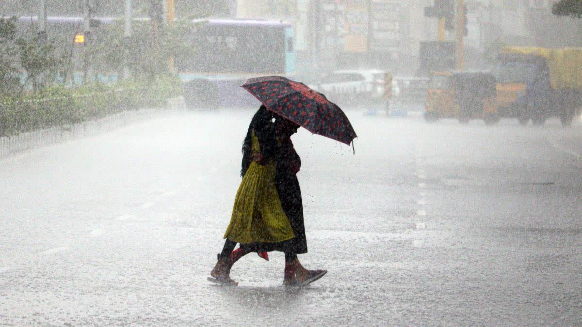
The depression is expected to bring heavy rain to isolated areas across the districts of Cuddalore, Villupuram, and Chengalpattu in Tamil Nadu, as well as Puducherry in Coastal Andhra Pradesh and Rayalaseema, according to meteorologists. They stated that for the next 24 hours, there is a chance of thunderstorms and lightning in one or two locations across the Tamil Nadu, Puducherry, and Karaikal regions.
In Chennai and the surrounding districts, the sky will continue to be gloomy, with one or two periods of light to moderate rain, along with thunderstorms and lightning in certain places.
Along and off the coasts of Tamil Nadu, South Andhra Pradesh, the Gulf of Mannar, and the Comorin area, fishermen have been alerted to squally weather with wind gusts of up to 55 kmph. It is recommended that they avoid going out to sea from October 25 to October 27.
The IMD said that the depression over the east-central Arabian Sea, on the other hand, stayed put and is probably going to shift almost northwest during the course of the following day.
In the meantime, the Indian Coast Guard (ICG) has started a significant outreach campaign to fishermen and mariners at sea, urging them to head back to the closest harbour. According to the Coast Guard, ICG ships, planes, and radar stations are constantly warning fishermen at sea to exercise caution and to return to the closest harbour as soon as possible for safety.
Andhra Prepares for Excessive Rainfall
According to the Amaravati Meteorological Centre, widespread rains are anticipated throughout the course of the next five days in several Andhra Pradesh locations. Heavy rains are predicted for Saturday in the districts of Bapatla, Prakasam, Sripottisriramulu, Nellore, and Tirupati; heavy to very heavy rains are predicted for Sunday in the districts of Guntur, Bapatla, Prakasam, Nellore, and Tirupati; and for Kakinada, Dr. BR Ambedkar Konaseema, West Godavari, Palnadu, YSR Kadapa, Annamayya, and Chittoor.
High Alert in Odisha
Because of the impending cyclonic storm, Odisha’s disaster management teams are on high alert. Even though Odisha is not predicted to have a direct landfall, the storm is nevertheless likely to bring with it violent gusts and heavy rainfall.
The state is equipped for the cyclonic storm, and the health, water, resource, and energy agencies are ready to handle the crisis, according to Suresh Pujari, minister of revenue and disaster management. “Odisha is extremely susceptible to cyclones, flooding, excessive rainfall, and river swelling, among other natural disasters. A cyclonic storm is approaching, and we are getting ready for it. Every department is ready, including agriculture, energy, water resources, and health. Local governments in Odisha have prepared plans for evacuation, relief centres, and the delivery of necessary supplies, particularly in areas that are at risk. We are completely prepared, therefore we ask that people not panic,” he stated.